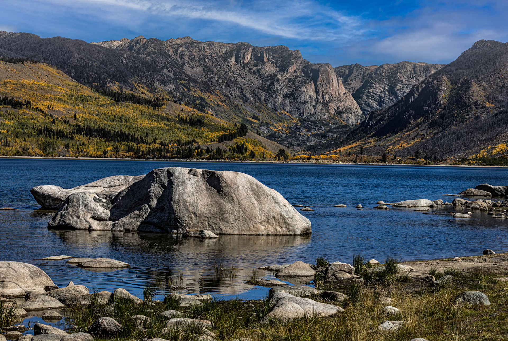
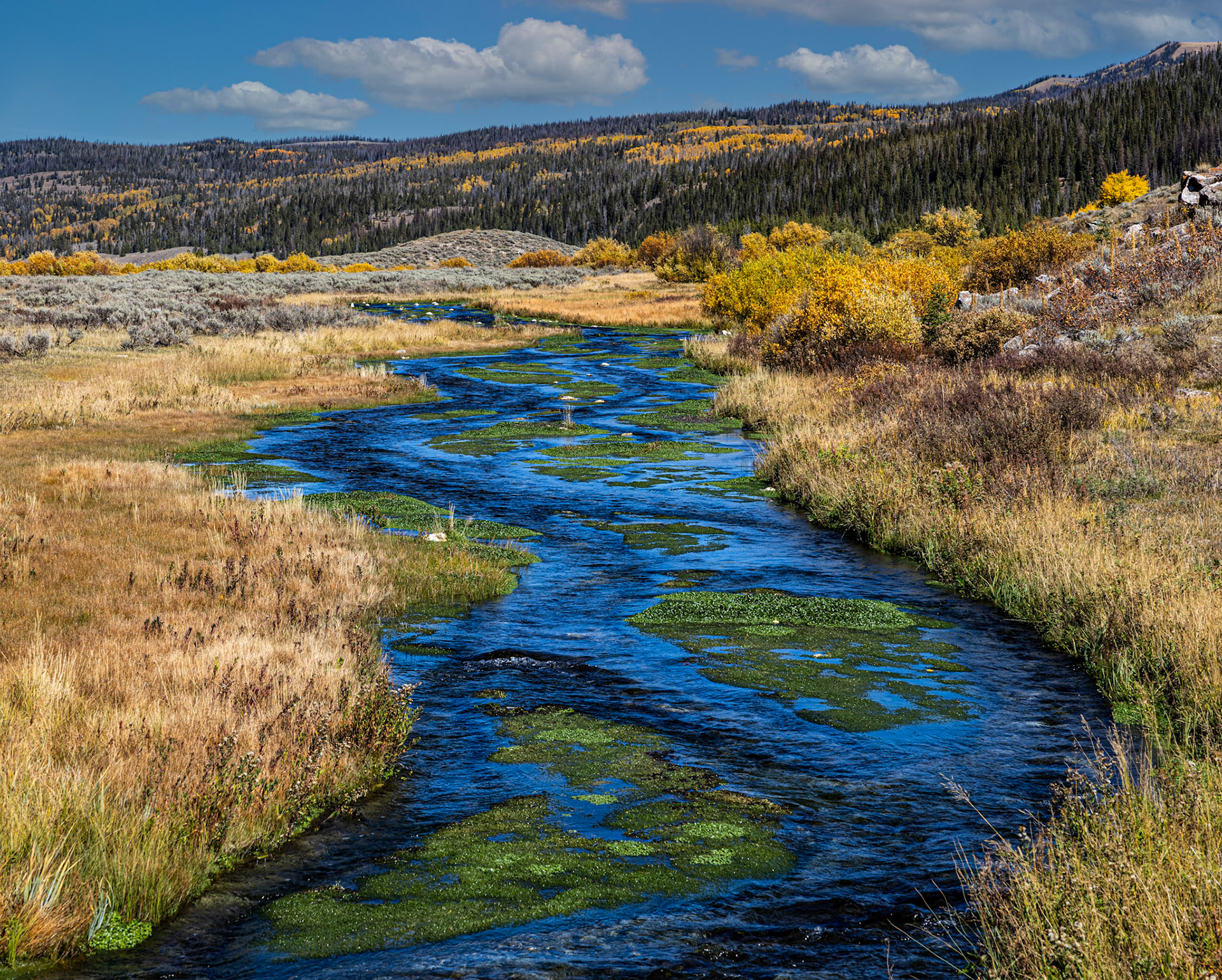
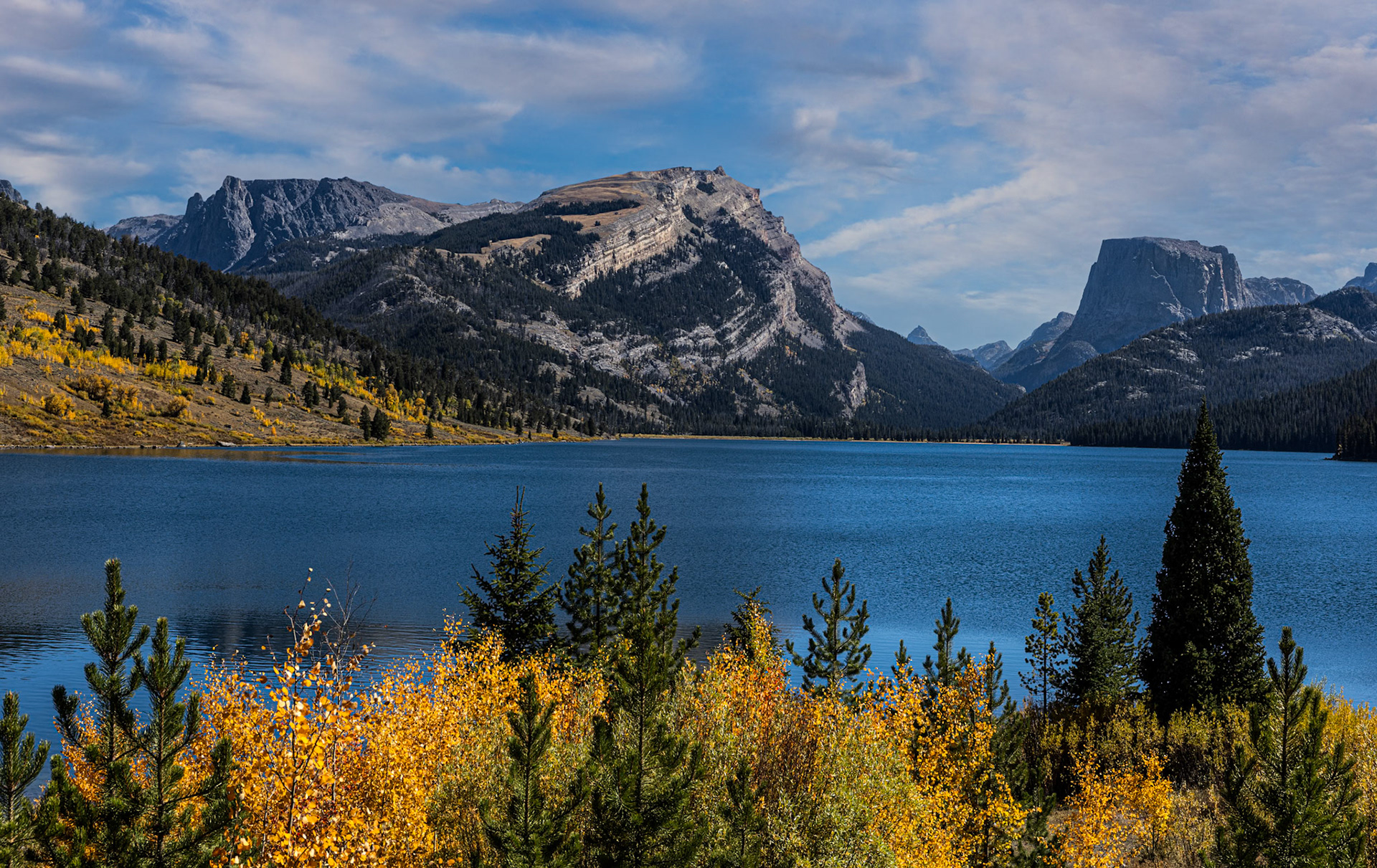
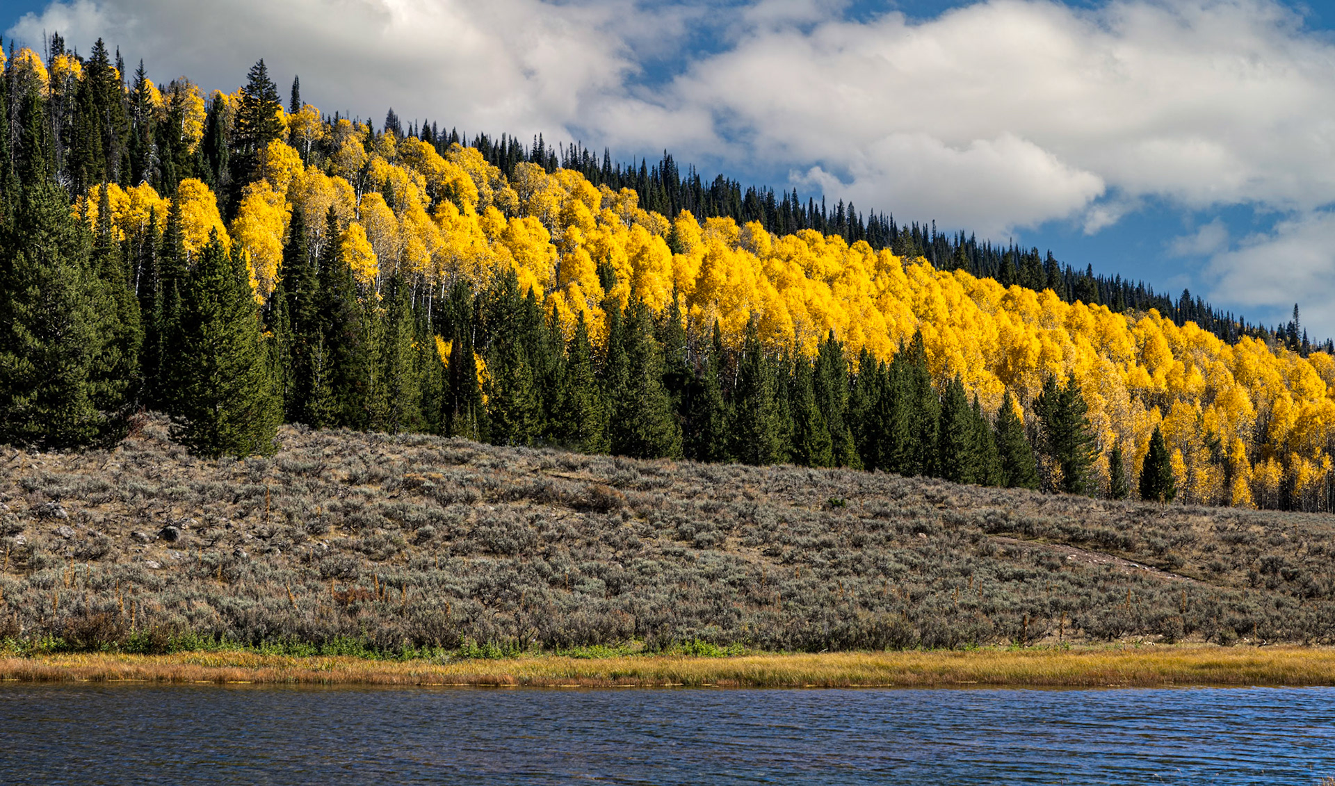
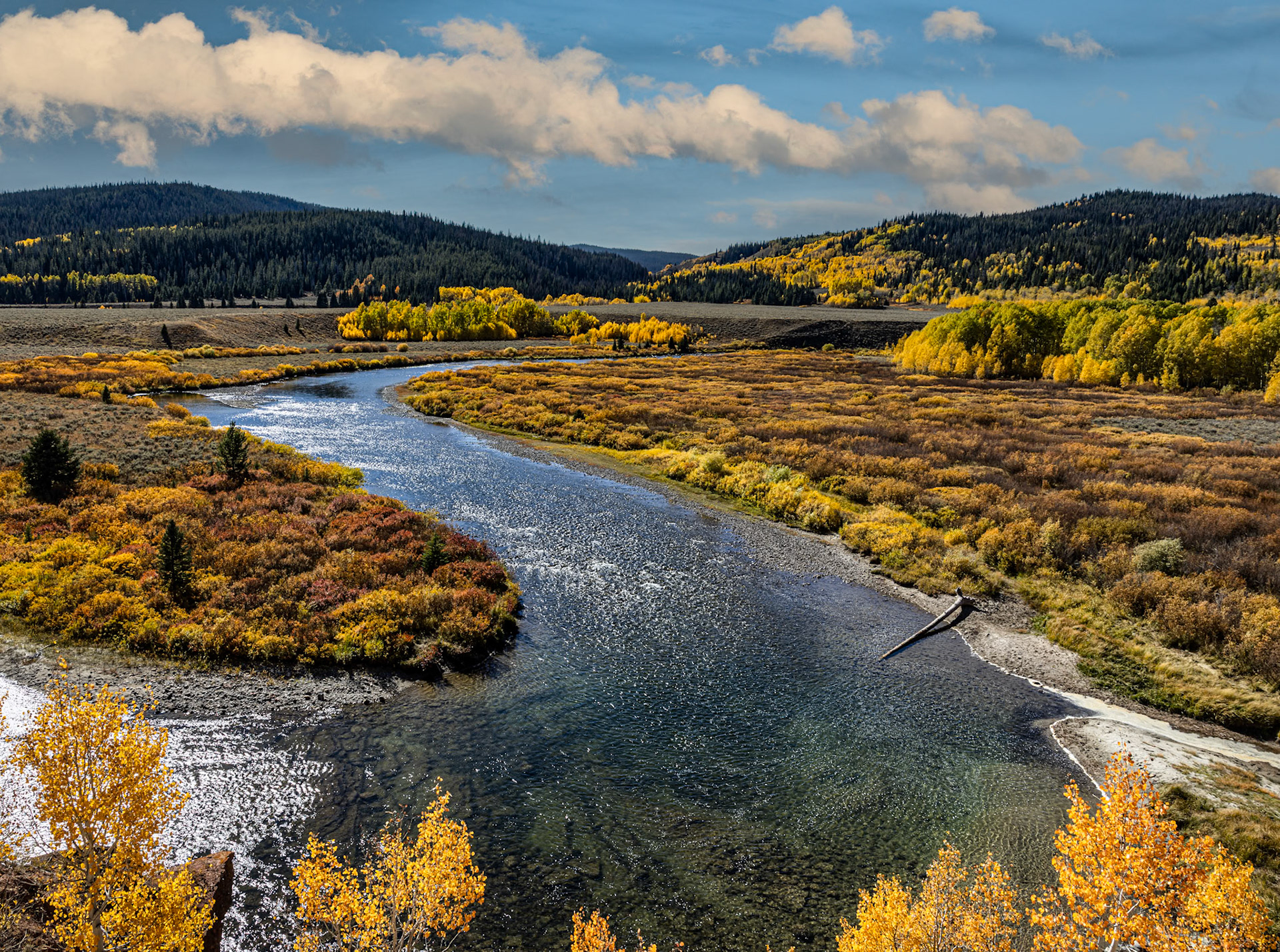
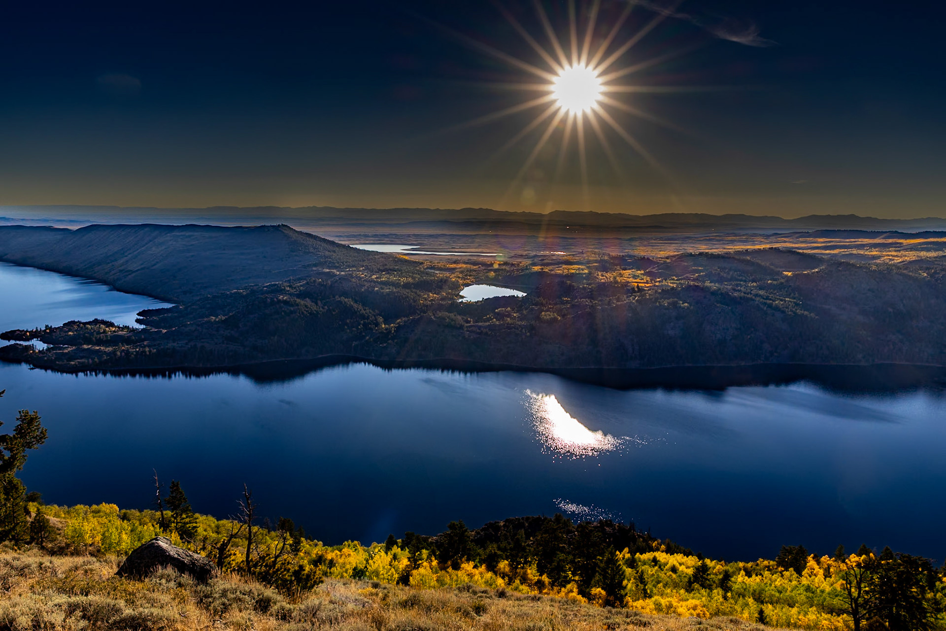
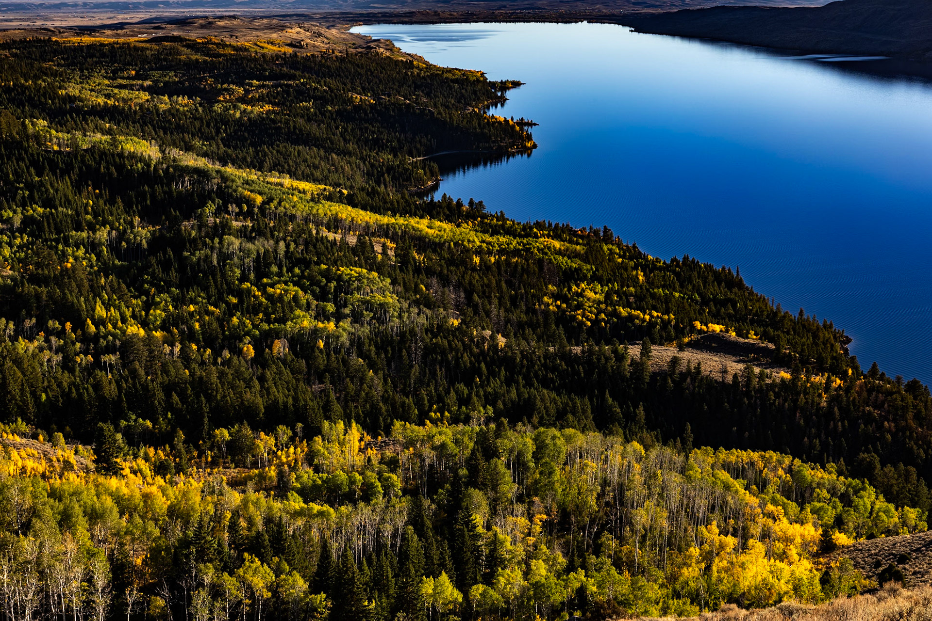
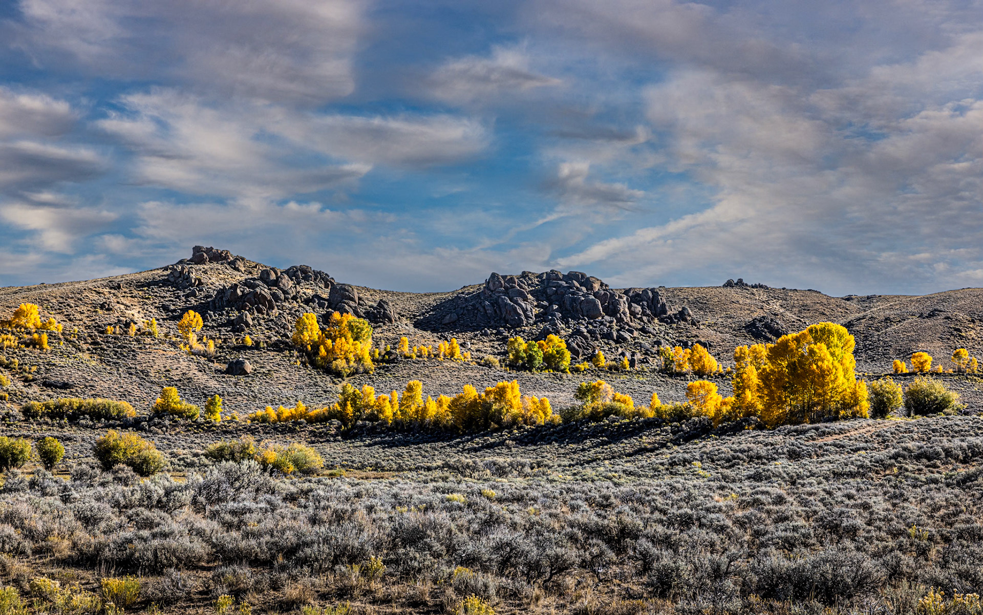
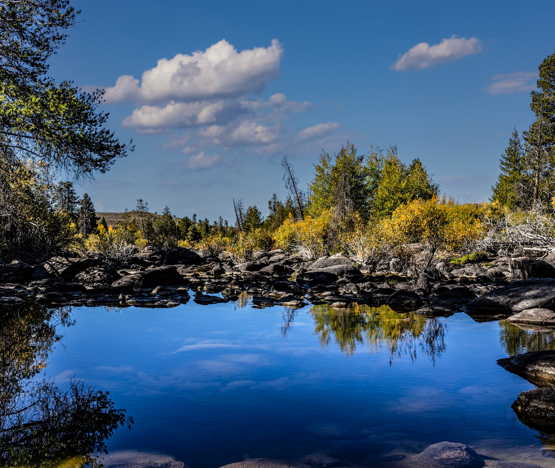
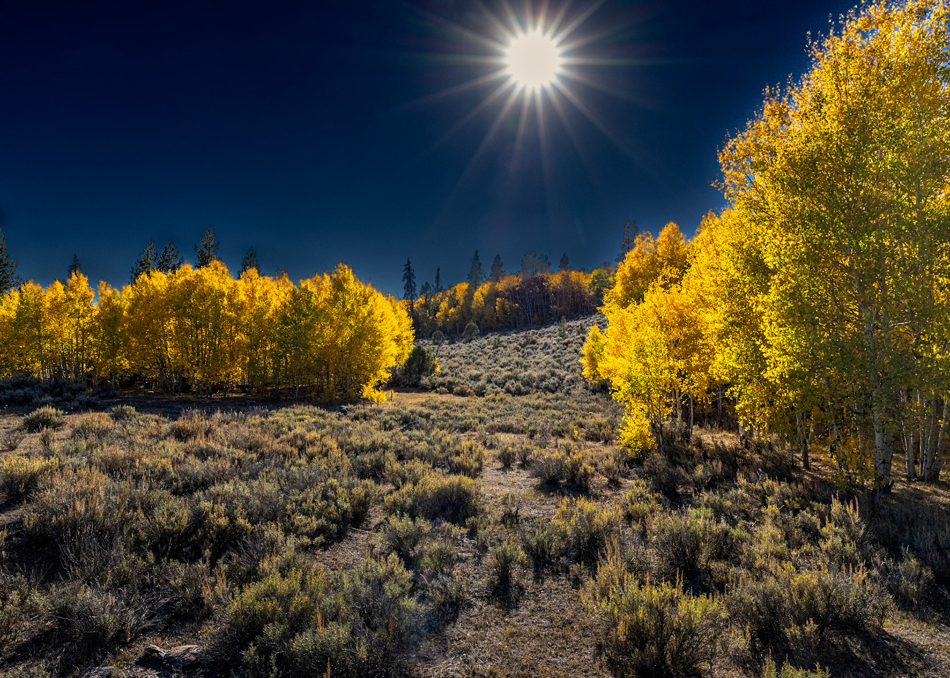
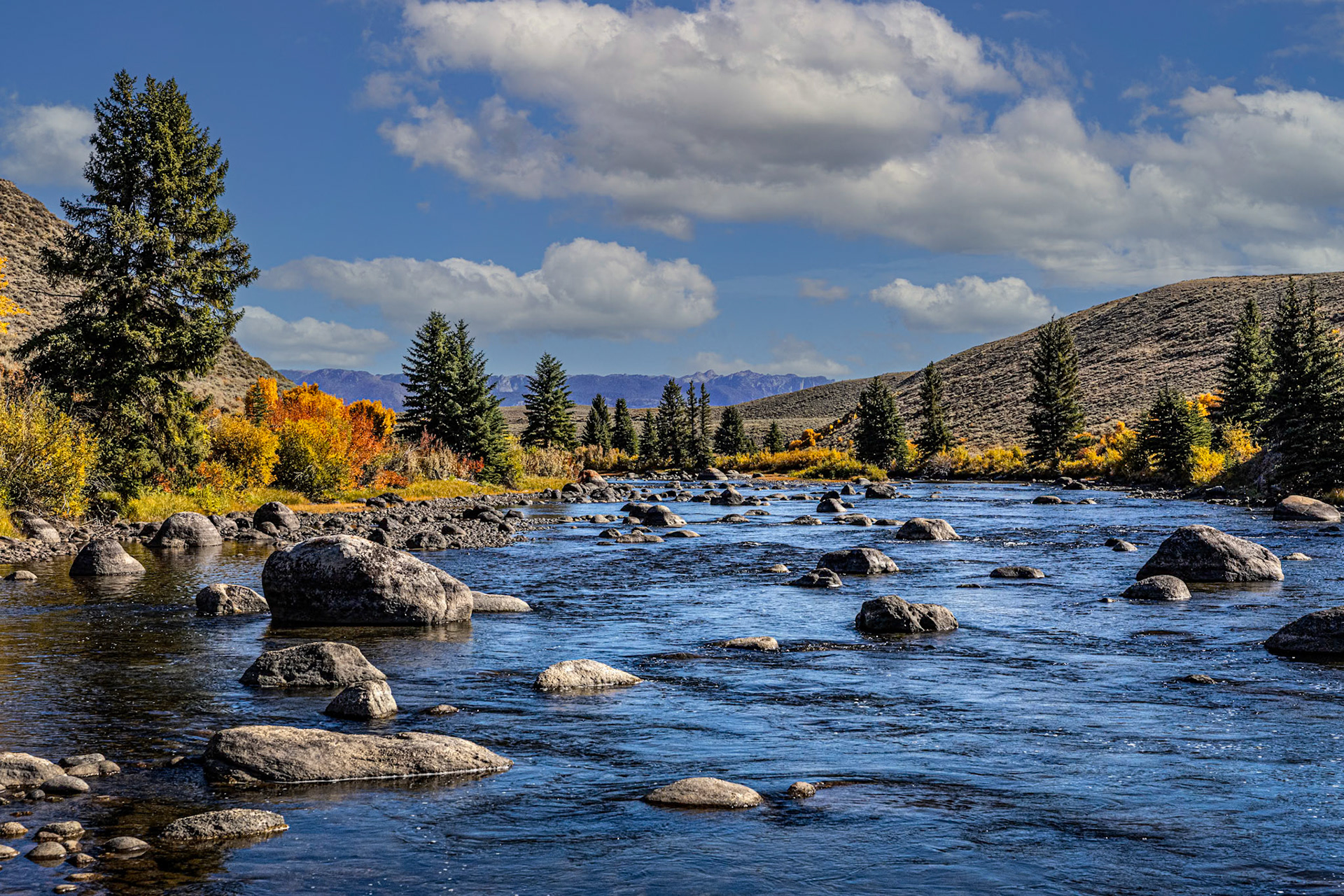
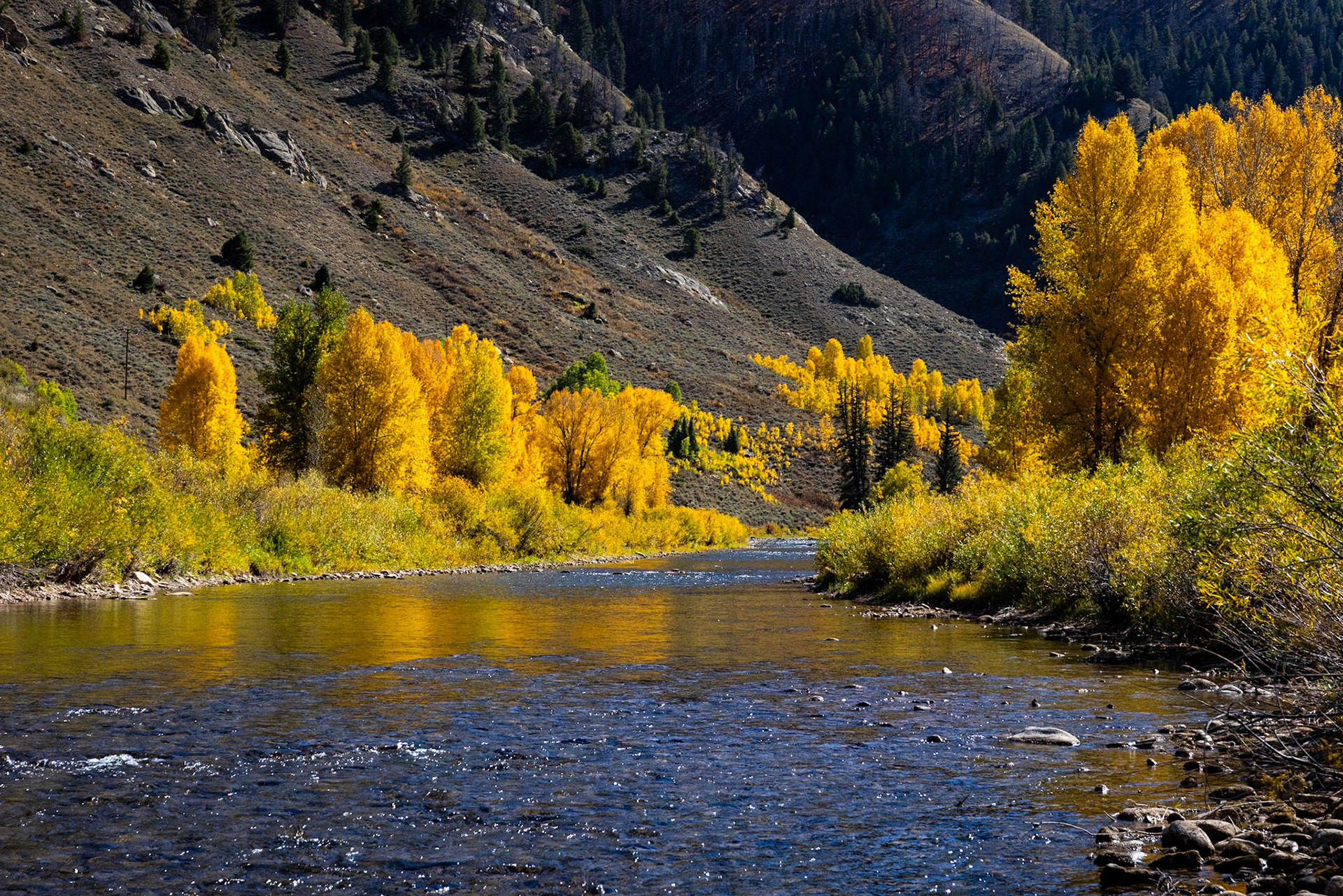
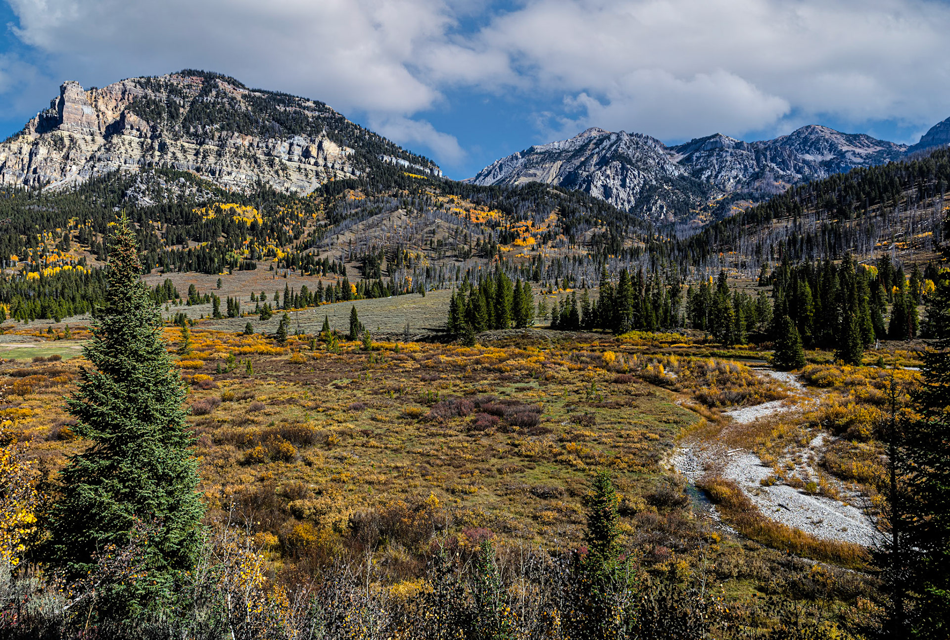
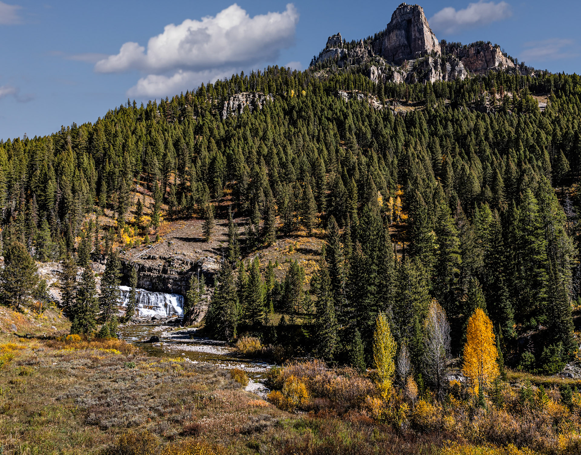
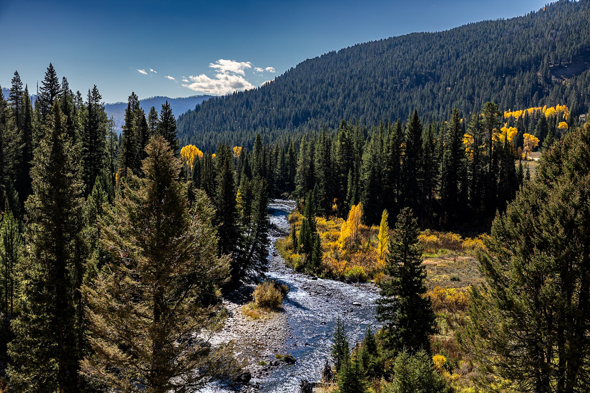
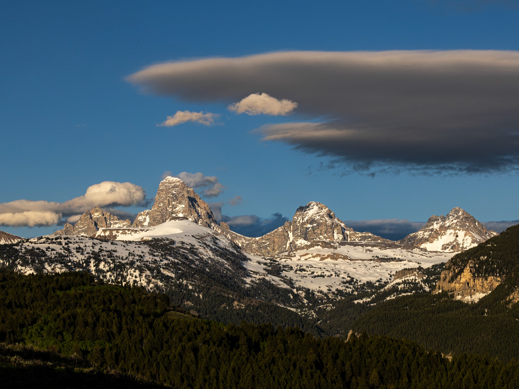
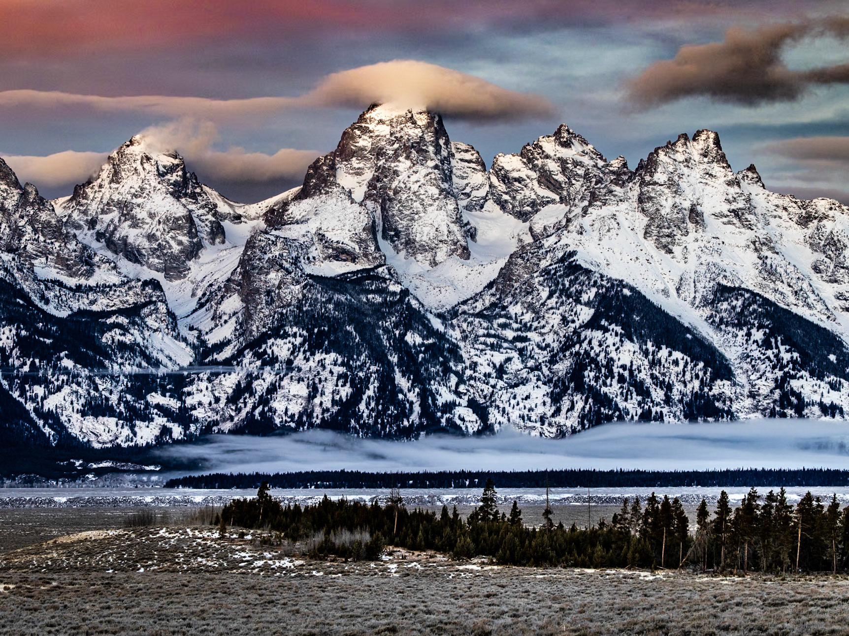
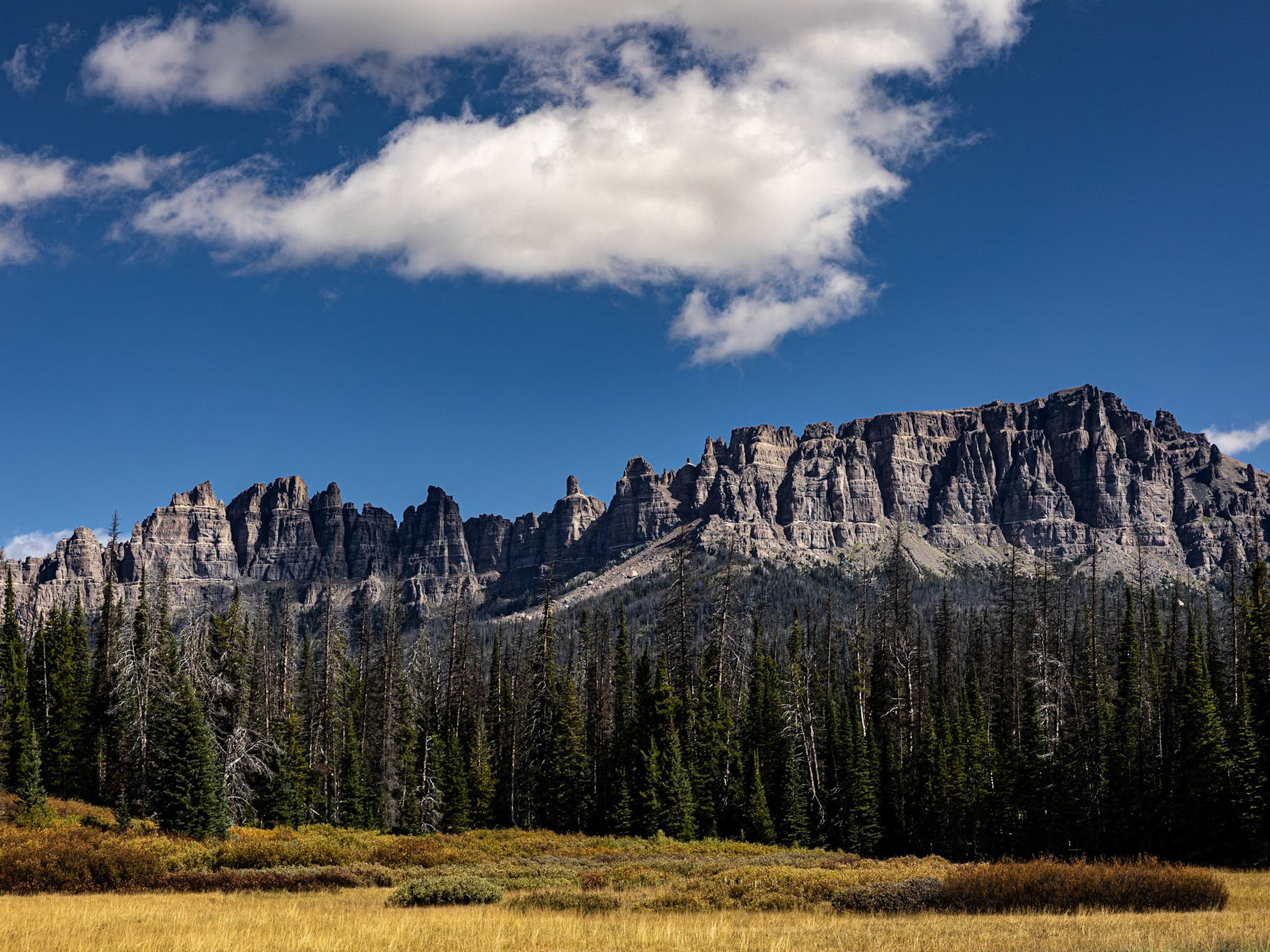
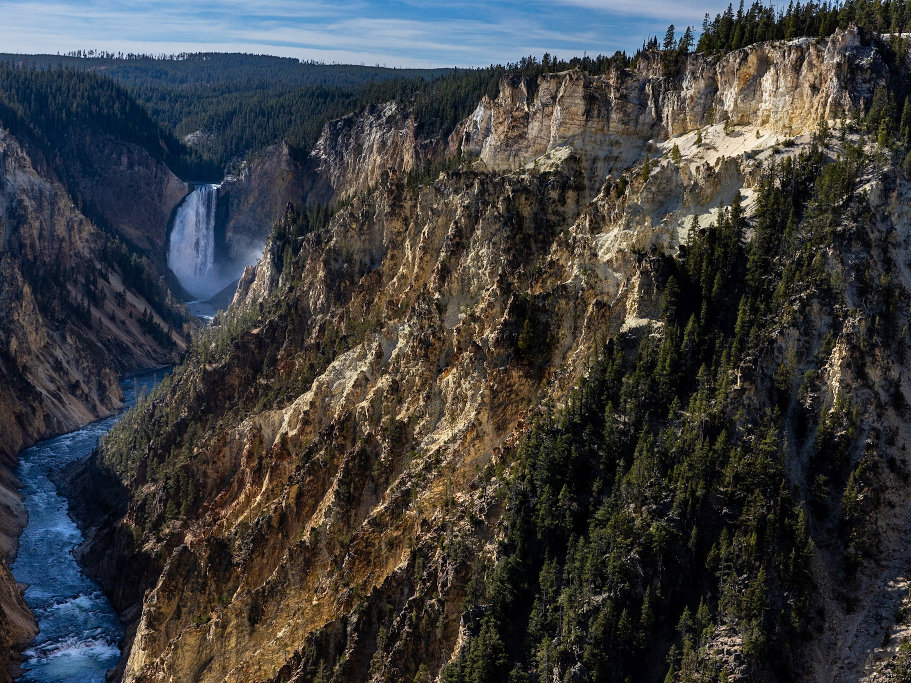
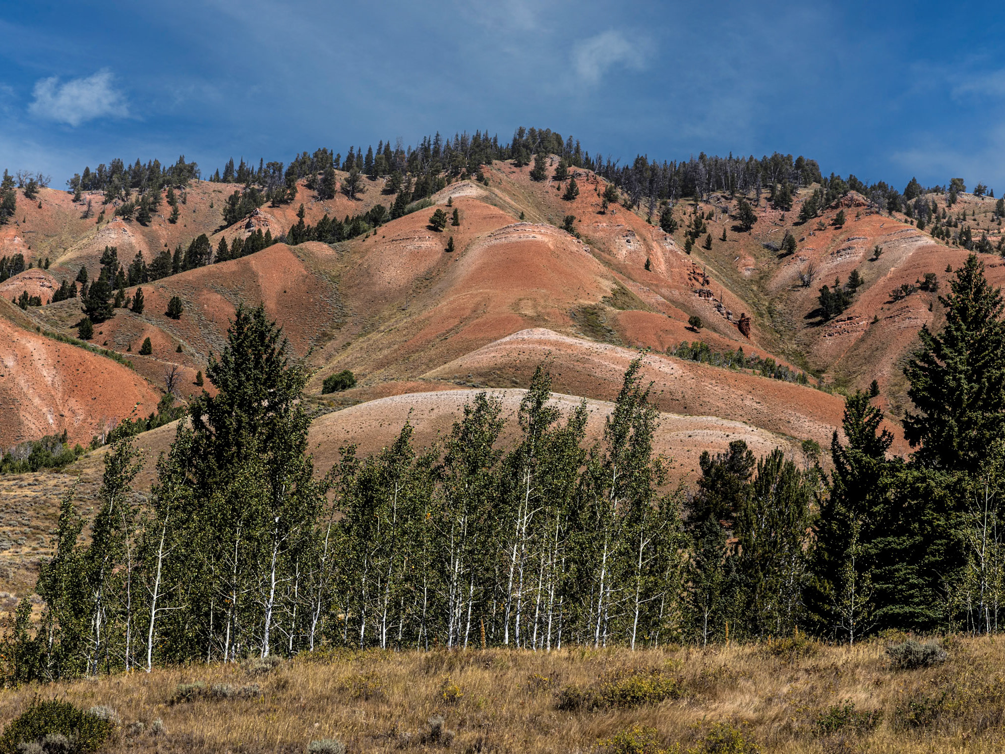
The Wind River Range runs in a south-easterly direction from the Gros Ventre Mountains for approximately 100 miles. The Winds encompass many of the highest peaks in Wyoming, including the highest, Gannett Peak. The range is contained within two national forests, the Shoshone National Forest to the east and the Bridger-Teton National Forest to the West. The Winds are adorned by significant hydrological features, including dozens of lakes and the headwaters of several significant rivers, including the Green and Big Sandy rivers that drain south, and the Wind River that drains eastward. The geology of the range is dramatic, presenting a variety of colors, shapes and textures.
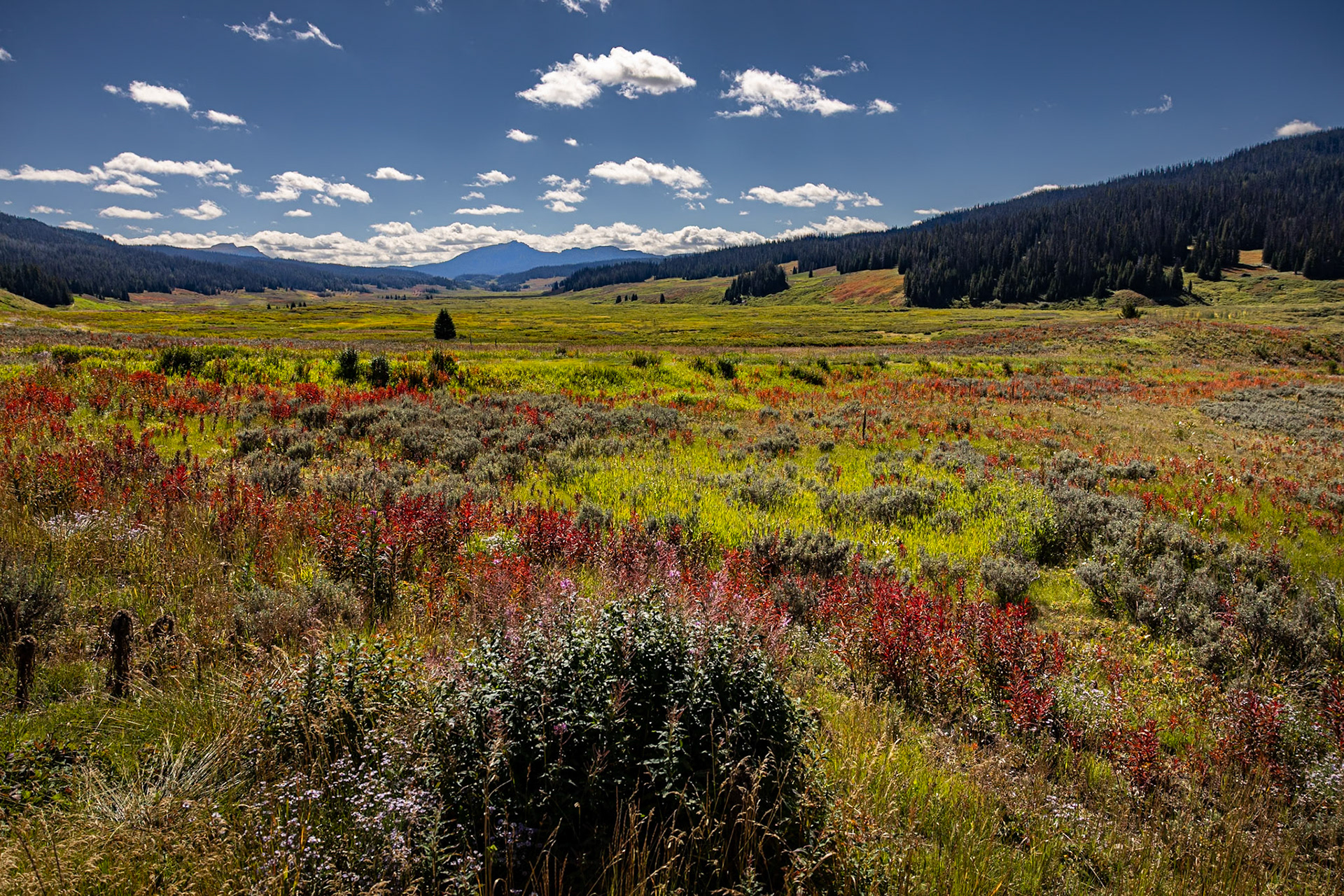
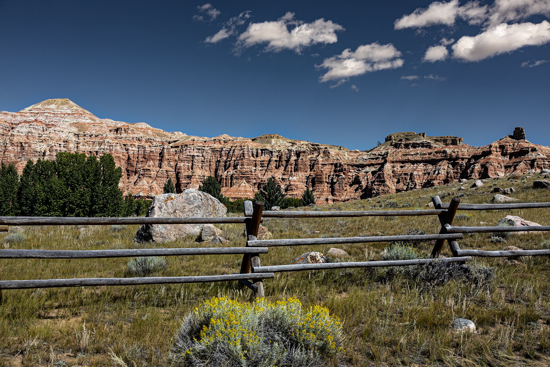
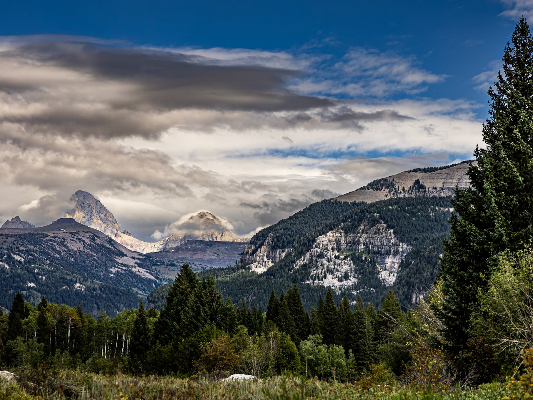
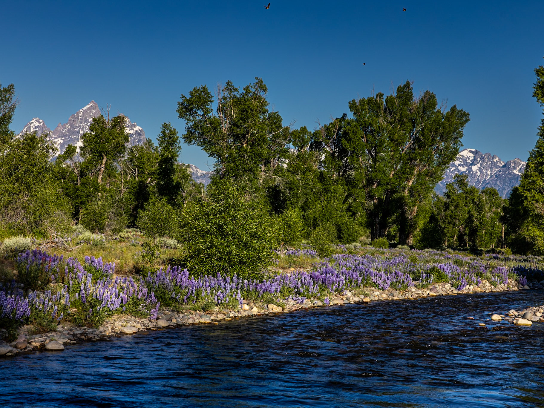
As a subject for photography, the Winds are spectacular and diverse in appearance. The photos presented in the gallery below were taken on the west and east sides of the range -- near Pinedale, especially along the Green River and above Fremont lake, and in the area of Dubois along the Wind River. The aspen and cottonwood stands turn a beautiful shade of gold in the fall, whereas the red and gray cliffs and other rock formations provide year round interest in both color, shape and texture.